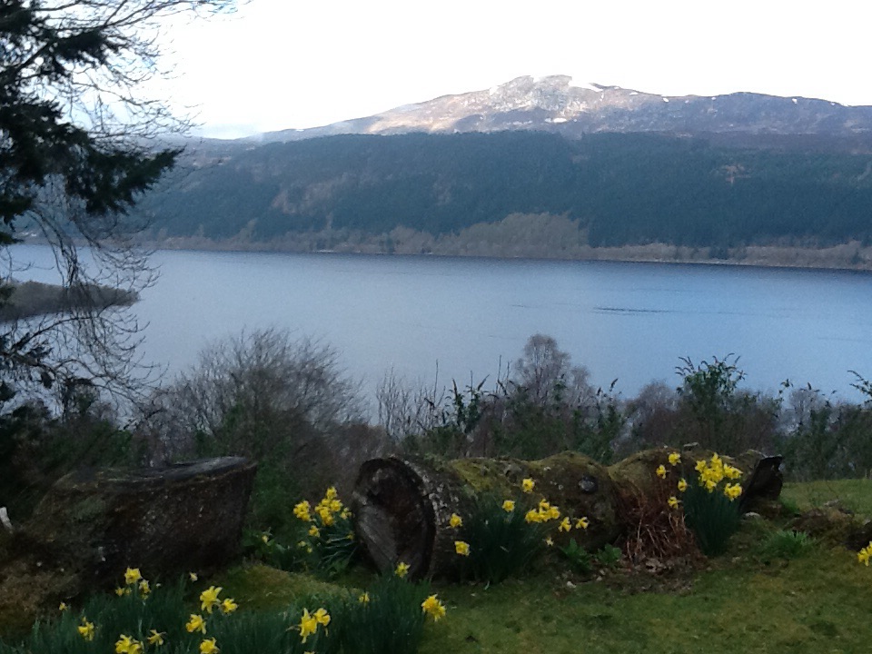
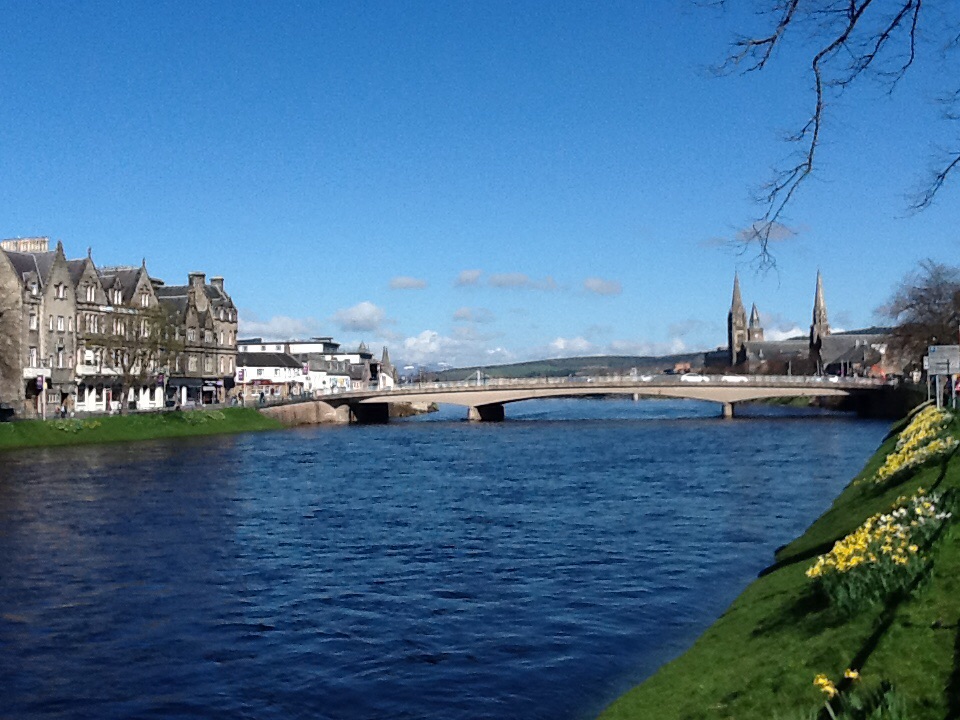
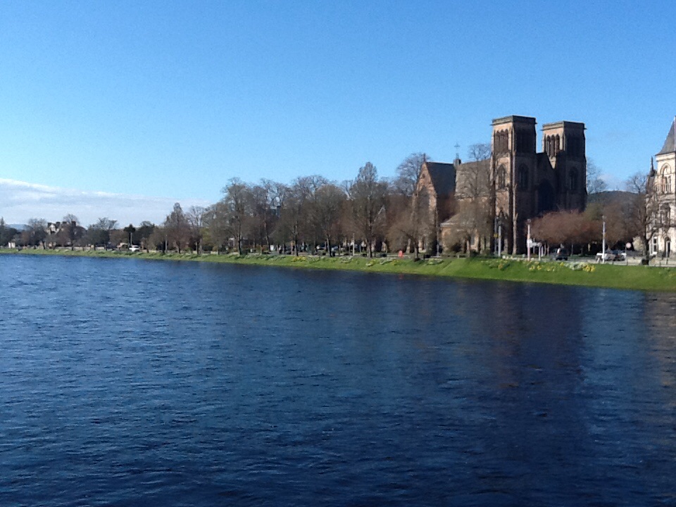
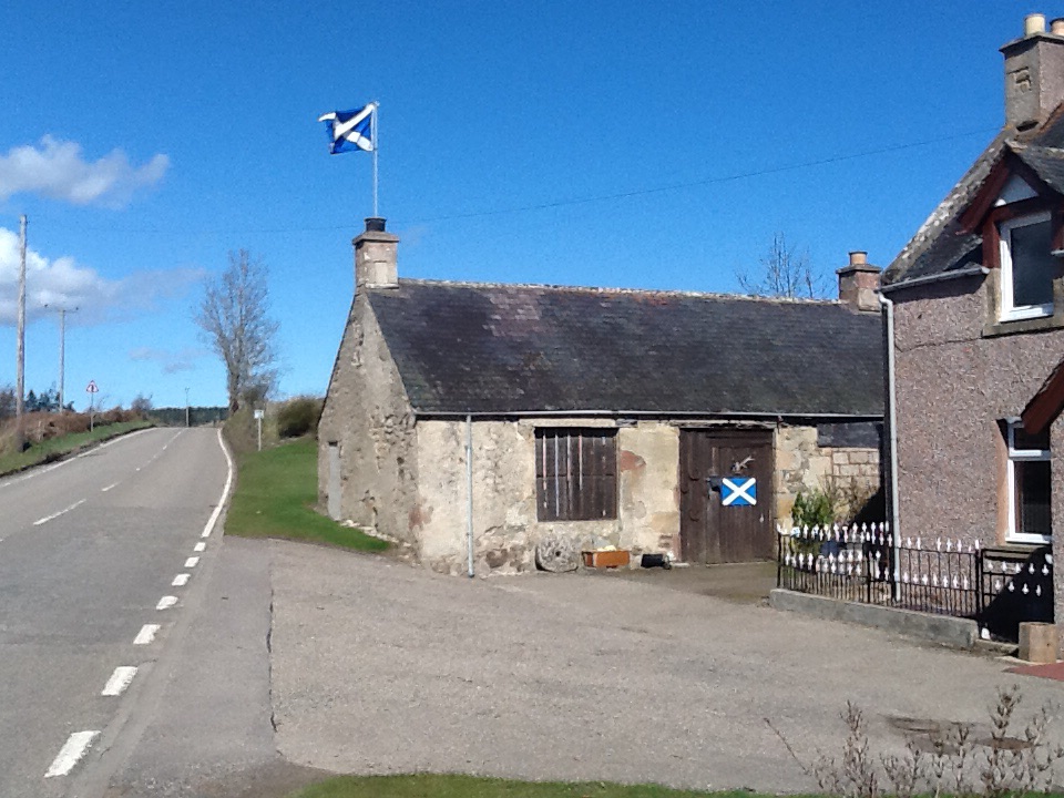
The morning began with a lovely gentle ride along Loch Ness heading to Inverness. We picked up the National cycle path soon after, which took us through Inverness. There were roadworks on one through street and there had been a big fire recently resulting in another through street being closed. But someone saw us looking perplexed and kindly directed us through the chaos.
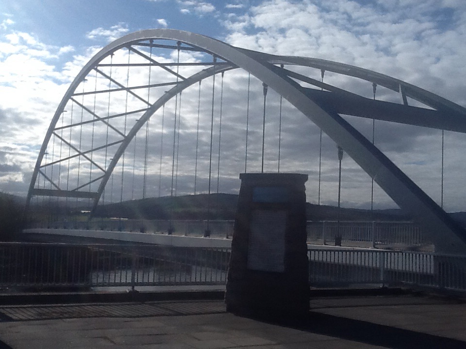
Cycling through to the bridge reminded me of Bristol on a smaller scale, through the industrial area where we miraculously found the bike path again, directing us onto the Kessock Bridge. In contrast to Bristol it was a clear day, and though apparently you can sometimes see dolphins and porpoises in the Moray Firth, we saw no signs of them.

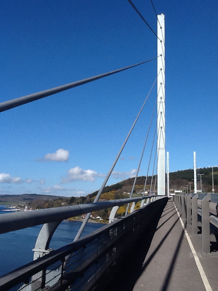
We did, though, have a wonderful view all round. We continued on the bike path on the other side of the bridge, and stayed on it most of the day. Sometimes it was a path next to the main road, sometimes it was a quieter, smaller road. We eventually left the cycle route to take a B road known as the Struie. It was a bit busier than I would have liked, and perhaps has become busier since our route guide was written. There is an almost fifteen mile ascent, gentle at times but occasionally steep.
The landcape was very different from yesterday’s, when we were still in the lochs and glens. Today there was a lot of arable farmland, some sheep and lambs, but mostly hundreds of acres of arable, still brown, being prepared for sowing. On the Struie, there was forest land after the agricultural, then the remains of lots of logging, and pine forests planted for future logging.
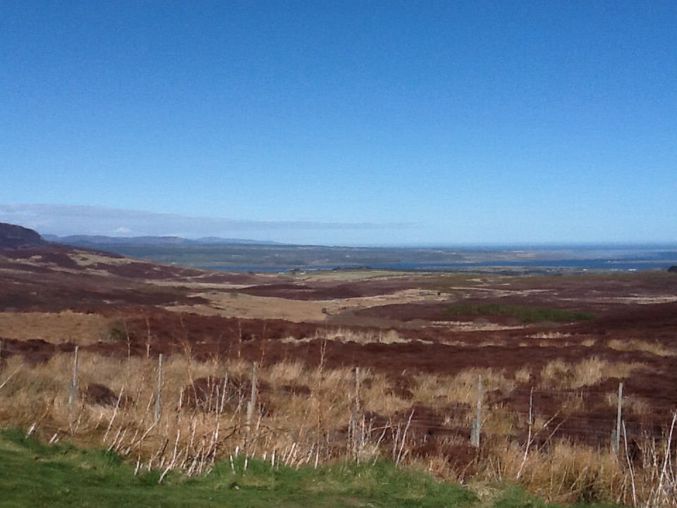
Past the planted pine forests, as we neared the top, the landscape became more natural if bleak. The blue sky helped, but it is a vast vista, broken only by mountains in the far distance.

We eventually got our swift descent, which was a relief after so much climbing. But the climbing seemed to go on forever; the descent was over in minutes.
Shortly after, we arrived in Bonar Bridge, a bigger than expected town, where we are staying at the Dunroamin Hotel. A real contrast with our luxury of two nights ago, though there are two labradors and the owners are very kind. Apparently they have had all kinds and all ages of cyclists. It is the right distance from John O’Groats for some people to ride in a day (just over 100 miles). We’ll be riding it in two.
